Water Quality Data
Pike County Water Quality Monitoring Program
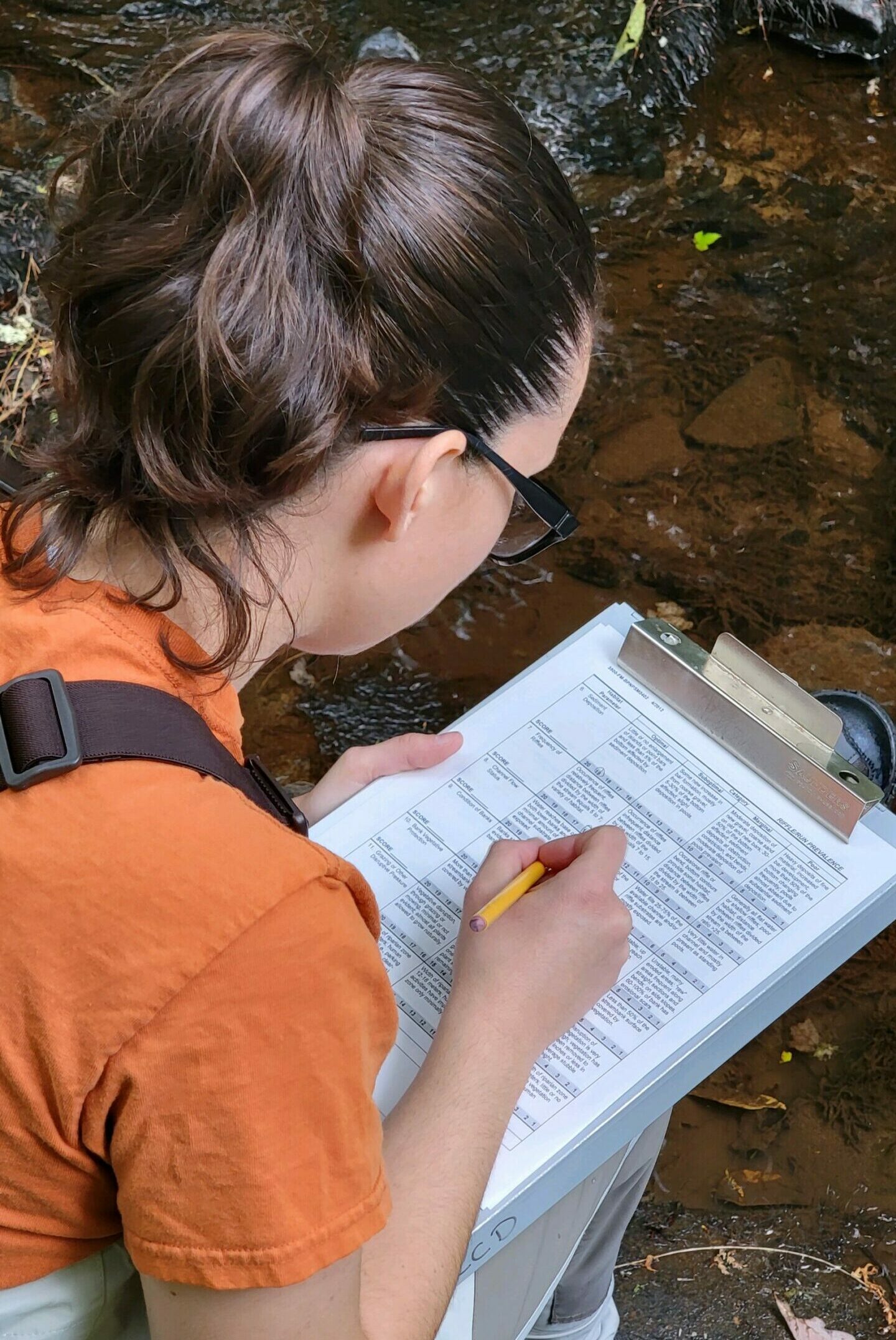
The District's Watershed Conservation efforts include a county-wide water quality monitoring program, watershed education, outreach and stewardship activities. The monitoring program was initiated in 1987 to assess and track surface water quality in rapidly developing Pike County.
One of the first of its kind among PA's 66 conservation districts, the program has evolved into a watershed-based tool for focusing attention on Pike County's High Quality and Exceptional Value waterways.
Eighteen watersheds are monitored at stream baseline, non-point source and special study site locations. Since 2006, the Conservation District has added groundwater monitoring as a component of the water quality program.

Pike County Groundwater Monitoring
Pike County has partnered with US Geological Survey to assess Pike County’s groundwater resources. A Comprehensive Groundwater Quality Assessment (2007) and a Groundwater Level Monitoring Network, established in 2007 and ongoing, provide baseline information on County groundwater resources to support current and future water resource planning, management, and protection initiatives.
Additional special groundwater studies in the County have been completed in recent years to provide a more comprehensive look at water quality.
Water Wonders of Pike County Presentation
UPDATED MONTHLY: Groundwater Data for Pike County
Pennsylvania Active Ground Water Level Network – Pike County, PA
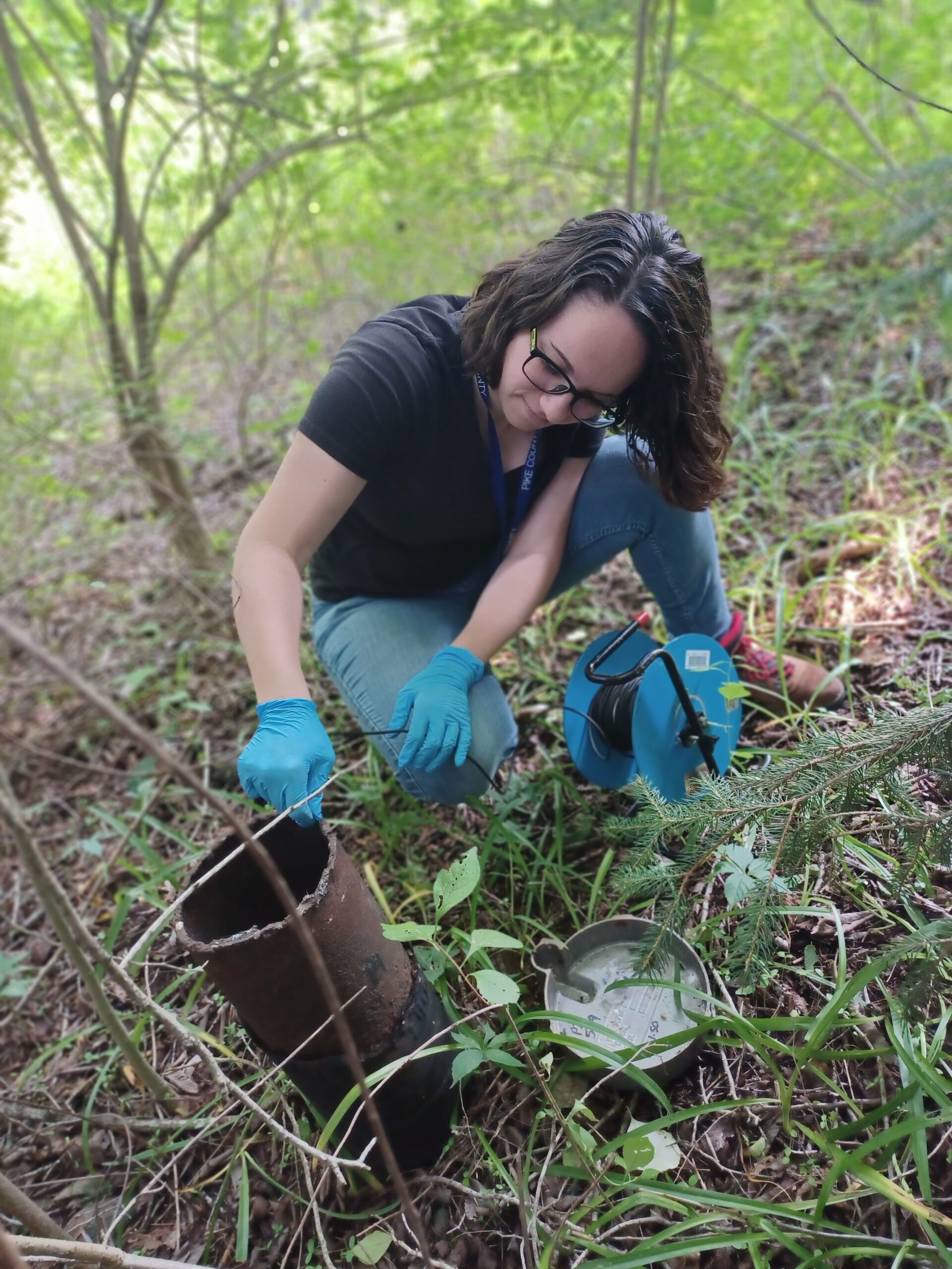
The Pike County groundwater level network was established in 2007 by the US Geological Survey in cooperation with the Pike County Conservation District. The well network consists of 21 wells located throughout Pike County with at least one well in most major Pike County watersheds.

Pike County Groundwater Resources
Pike County Groundwater Level Observation Network 2022
Pike County Conservation District completed monitoring of 20 sites in 2022. Data sheets were provided to the US Geological Survey for continued entry into the USGS’s Pike County Well Network.
Baseline assessment of groundwater quality in Pike County, PA, 2015
2017, Senior, L.A., and Cravotta, C.A., III
U.S. Geological Survey Scientific Investigations Report 2017–5110, 181 p.
A reconnaissance spatial and temporal assessment of methane and inorganic constituents in groundwater in bedrock aquifers, Pike County, Pennsylvania, 2012-13
2014, Senior, Lisa A.
USGS Scientific Investigations Report: 2014-5117
Groundwater-Quality Assessment, Pike County, PA, 2007
2009, Senior, Lisa A.
USGS Scientific Investigations Report: 2009-5129
Groundwater Resources of Pike County, PA: Pennsylvania Geological Survey, 4th Series, Water Resource Report 65
1989, Davis, D.K. available through PAGS

Sediment (dirt) in streams is the single largest pollution source to PA’s waterways.
Contact the PCCD office when planning any project where you will be digging or moving soil. We can help advise you about ways to decrease the sediment pollution that is created.

